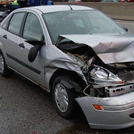
The latest three-year analysis released by AMATS shows that the overall number of crashes in the Greater Akron area surged by about 6 percent or 1,022 crashes, from 14,965 crashes in 2020 to 15,987 crashes in 2021.
The latest report is based on AMATS’ analysis of nearly 49,000 motor vehicle, bicycle and pedestrian-related crash records for the area’s roadway sections and intersections obtained from the Ohio Department of Transportation (ODOT). For the 2019-2021 Crash Report, the agency identified 143 high-crash roadway sections and 231 high-crash intersections within Portage and Summit counties and northeastern Wayne County.
While crashes resulting in an injury increased by a significant 8 percent or 279 crashes, from 3,503 in 2020 to 3,782 in 2021, the area was more fortunate with regards to total fatalities and fatal crashes. Although area fatalities increased by one, from 69 in 2020 to 70 in 2021, and the total number of fatal crashes posted a decrease, from 64 in 2020 to 63 in 2021, these numbers lose their luster when compared to 2019’s totals. There were 44 total fatalities and 43 fatal crashes in 2019, the year before the COVID-19 Pandemic.
AMATS Transportation Engineer David Pulay notes that the pandemic and subsequent lockdown created a substantial decrease in area travel and in overall crashes during 2020. Unfortunately, the number of fatalities increased significantly during that time and remained high through 2021. AMATS officials speculate that fewer vehicles on area roadways during the lockdown led to more reckless driving, higher speeds, and more fatalities.
“It appears that the pandemic changed the nature of area crashes and fatalities. Hopefully, not permanently,” Pulay observes.
Two area roadways tie for first place in the agency’s rankings of high-crash roadway sections. State Route 59, from Alpha Drive to state Route 261, in Portage County’s Franklin Township, and state Route 241 (Massillon Road), from Krumroy Road to Oaks Drive, in Summit County’s Springfield Township, score at the top of the region’s high-crash roadway sections. State Route 585, from Benner Road to state Route 57, in Milton Township ranks 29th in the listing, the highest appearance for a section based in AMATS’ portion of Wayne County.
State Route 18 (Medina Road) and Medina Line Road in Summit County’s Bath and Copley townships and state Route 14 and state Route 44 (North Chestnut Street) in Ravenna rank first and second respectively for high-crash intersections in the region. The highest-ranking northeastern Wayne County intersection is State Route 57 (Wadsworth Road) and state Route 604 (Easton Road) in Chippewa Township, which places at seventeen in the listing.
As part of its mission as the Greater Akron area’s metropolitan planning organization, AMATS also tracks bicycle and pedestrian-related crashes.
The agency finds that, out of the 200 bicycle-related crashes that occurred between 2019 and 2021, 151 or 75.5 percent resulted in an injury and eight in a fatality. There were 382 pedestrian-related crashes between 2019 and 2021 with 319 or 83.5 percent resulting in an injury and 26 in a fatality. Pedestrians account for over 14 percent of all area crash-related fatalities that occurred during the three-year period.
High-crash locations identified in the report may be used by communities as a starting point when seeking federal Highway Safety Program funds through ODOT for safety improvement projects. The 2019-2021 Crash Report is available for viewing and download.

